
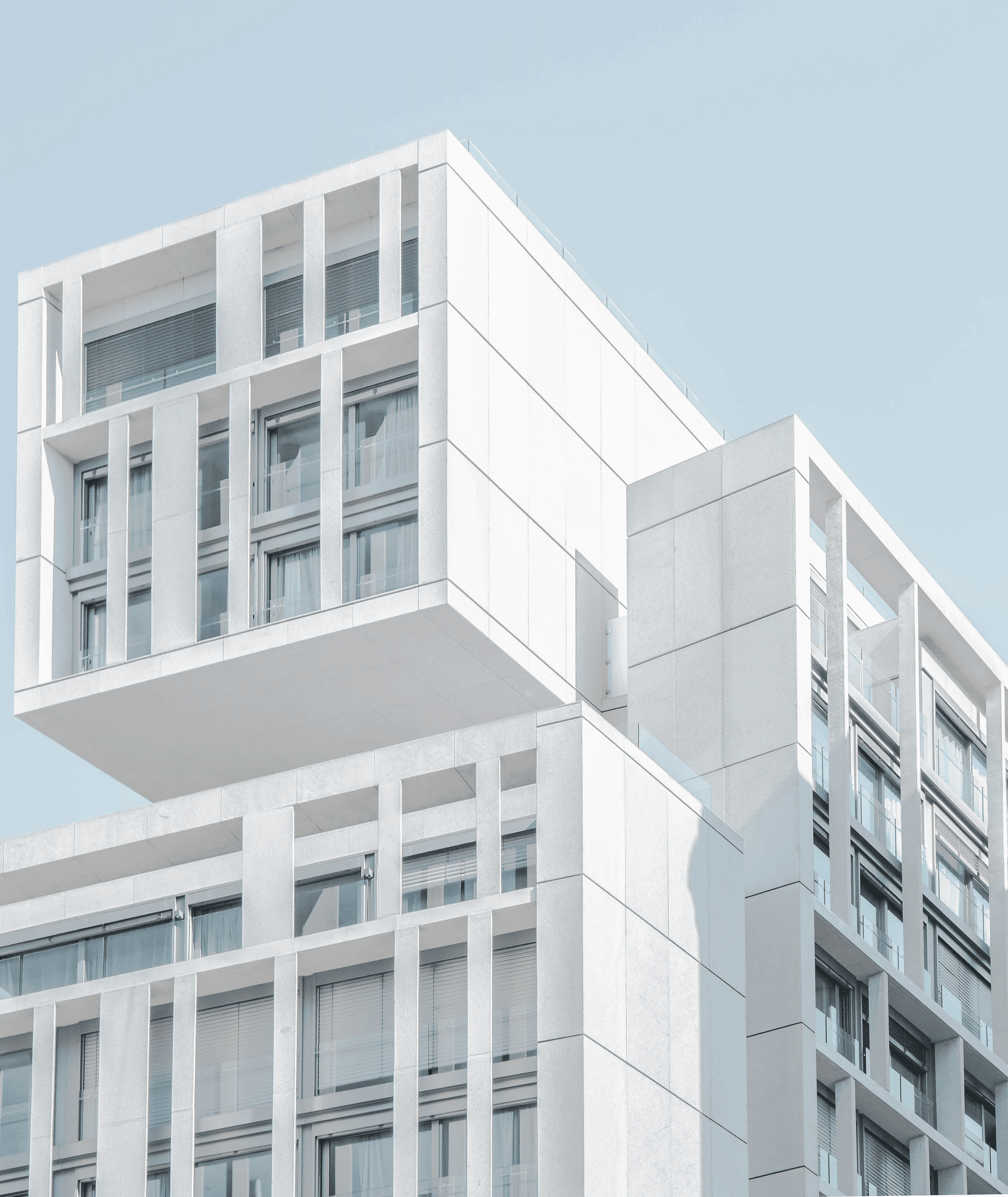
Professional 3D Scanning Services for
Property & Built Spaces
Professional 3D Scanning Services for
Property & Built Spaces
Professional 3D Scanning Services for
Property & Built Spaces
We capture your space and deliver accurate digital models, floor plans, and virtual walkthroughs.
We capture your space and deliver accurate digital models, floor plans, and virtual walkthroughs.
Audience
Who This Service Is For

Real Estate Teams
3D virtual scanning allows real estate teams to showcase properties through interactive walkthroughs.
Impact :
Help buyers understand layout, flow, and room sizes
Increase engagement compared to static photos
Reduce time spent on low-intent viewings

Architects
Architects and interior designers can use accurate 3D scans to capture the full condition of an existing space.
Impact :
Capture accurate site conditions in one visit
Speed up space planning and concept development
Improve communication with clients using visual models

Contractors
Contractors can reduce guesswork with the 3D scanning to check measurements, and existing conditions before starting renovation.
Impact :
Verify dimensions before work begins
Improve coordination between contractors, suppliers, and clients
Identify site constraints early

Property Managers
3D scans provide a detailed digital record of each property or facility. Useful for planning, inspections and documentation.
Impact :
Keep accurate digital records of properties
Make property information easier to access and share
Document asset condition before and after tenancy
Real Estate Teams
3D virtual scanning allows real estate teams to showcase properties through interactive walkthroughs. This helps listings stand out online, attracts more serious leads, and reduces unnecessary physical viewings.
Impact :
Help buyers understand layout, flow, and room sizes
Increase engagement compared to static photos
Reduce time spent on low-intent viewings
Architects
Architects and interior designers can use accurate 3D scans to capture the full condition of an existing space. Rather than relying on manual measurements or repeated site visits, they can use digital models for planning layouts and design proposals.
Impact :
Capture accurate site conditions in one visit
Speed up space planning and concept development
Improve communication with clients using visual models
Contractors
Contractors can reduce guesswork with the 3D scanning to check measurements, site constraints, ceiling heights, wall positions, and existing conditions before starting renovation.
Impact :
Verify dimensions before work begins
Improve coordination between contractors, suppliers, and clients
Identify site constraints early
Property Managers
3D scans provide a detailed digital record of each property or facility. This is useful for inspections, maintenance planning, asset tracking, tenancy handovers, and documentation.
Impact :
Keep accurate digital records of properties
Make property information easier to access and share
Document asset condition before and after tenancy
DRAG TO EXPLORE
Our Process
Use Cases
3D Scanning in Various Industries
Heritage & Conservation
Architects and conservation teams for documentation, restoration planning, and long-term records.

Property & Development
Supports developers and property agents with walkthroughs, listings, and space presentation.

Industrial & Warehousing
Used by engineers and planners for clearance height checks, equipment layout, and spatial coordination.

Events & Venues
Helps planners and clients visualise setups such as weddings, seminars, exhibitions, seating, and staging.

Services
Our Scanning Services
Understand how our services could contribute by turning any physical space into accurate, editable digital models and floor plans within minutes.
On-Site 3D Capture
On-Site 3D Capture
We provide professional on-site scanning of your space using a 3D scanner to capture rooms and key visual details.
What's included:
We provide professional on-site scanning of your space using a 3D scanner to capture rooms and key visual details.
We provide professional on-site scanning of your space using a 3D scanner to capture rooms and key visual details.
Capturing Multiple Viewpoints
Raw Spatial Data
Scanning
Virtual Tour Creation
An interactive 3D walkthrough that allows users to explore the space online.
Floor Plan & Measurement Extraction
Creation of floor plans and key measurements from the captured scan data.
CAD / E57 / RAW Data Export
We provide scanned data in file formats such as CAD, E57, or raw point cloud data.
Virtual Tour Creation
An interactive 3D walkthrough that allows users to explore the space online.
What's included:
An interactive 3D walkthrough that allows users to explore the space online.
Shareable Links for Websites
Room-to-room Navigation
Floor Plan & Measurement Extraction
Creation of floor plans and key measurements from the captured scan data.
What's included:
Creation of floor plans and key measurements from the captured scan data.
Room Dimensions
Layout Plans
Space Measurements
CAD / E57 / RAW Data Export
We provide scanned data in file formats such as CAD, E57, or raw point cloud data.
Design
Planning
Scanning Workflow
From your physical environment to digital in just a few steps
Process
01.
Share your Site Details
Provide us with information regarding your space. The size, location and building type gives us a better understanding on what you are looking for.
Provide us with information regarding your space. The size, location and building type gives us a better understanding on what you are looking for.
02.
Schedule an On-site Scan
Schedule an On-site Scan
Schedule an On-site Scan
Upon confirmation, we will schedule a suitable time to conduct the on-site scanning.
03.
Process Data
After scanning, we will process and convert the scanned images into usable data.
04.
Receive Deliverables
Data retrieved will be provided to you in desired formats. Including floorplans, 3D walkthrough link and CAD files.
Benefits
3D LiDAR Scanner
Understand how our services can help you capture spaces faster, generate accurate floorplans and create immersive virtual spaces.
Property Documentation
Capture accurate digital records of buildings that can be used for renovation planning, asset documentation and building measurement.
Virtual Walkthroughs
Create interactive virtual walkthroughs that allow properties to be explored remotely.
Representation of 3D space
Precision LiDAR technology captures the interior of buildings and creates highly accurate digital models that can be used for measurement, documentation and planning.